Hudi Community is located in the Northern part of Taipei. It is a basin surrounded by four mountains- Mt.Qixing, Jianshan, Mt.Shamao, and Tai-Po. The four mountains are popular hiking trails in Taipei. The eco-system of Hudi Community is consisted of diverse plants and animals. For example, the beautiful Taiwanese Magpie can be seen in the community. For people who enjoy nature, Hudi community is definitely a heaven-like place, where you can see many birds and butterflies flying around.
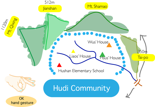
The map of Hudi Community.
In order to let us better understand the geography of Hudi Community, Dean Yen compared Hudi community to an ok hand gesture. The circle part of the ok represents Hudi Community. The fingers around the circle are like the mountains that surrounded the community. The knuckle of index finger is compared to Mt.Shamao.
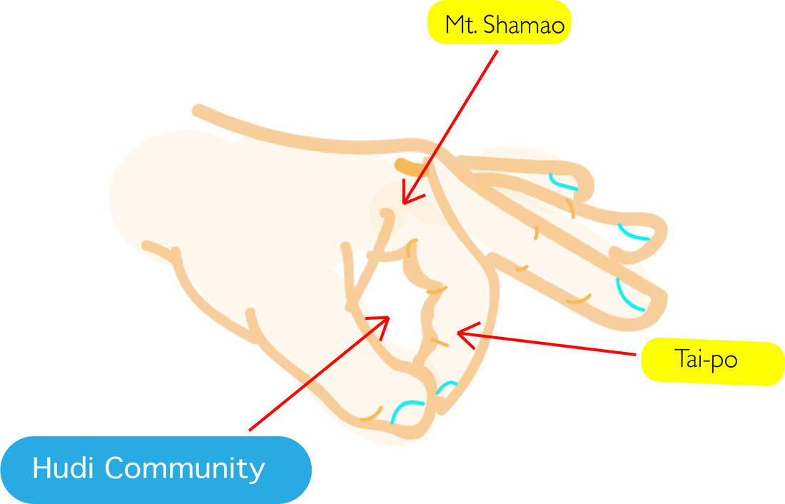
OK Hand gesture that is used to remember the map of community
At first we could not picture the map of Hudi Community in mind. Yet, after Dean Yen's explanation we got a better understanding of Hudi Community's geography. Using hand gesture to learn was a really effective learning method. In addition, we found the process to be very interesting. In a short amount of time, we were all familiar with the surrounding of Hudi Community.
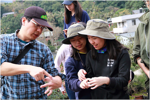
Practicing using the OK hand gesture.
|
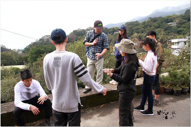
Everyone is having fun while learning about
the geographic location of Hudi Community. |
<Pictures were taken/made by Grass Hope Taiwan Foundation and Earth's children.>